The Center for American Progress is shaping the national debate about issues that truly matter – including access to affordable early care and education for children in America. To elevate the crisis of childcare access, CAP needed a way to make the complex issue understandable, accessible, and tangible.
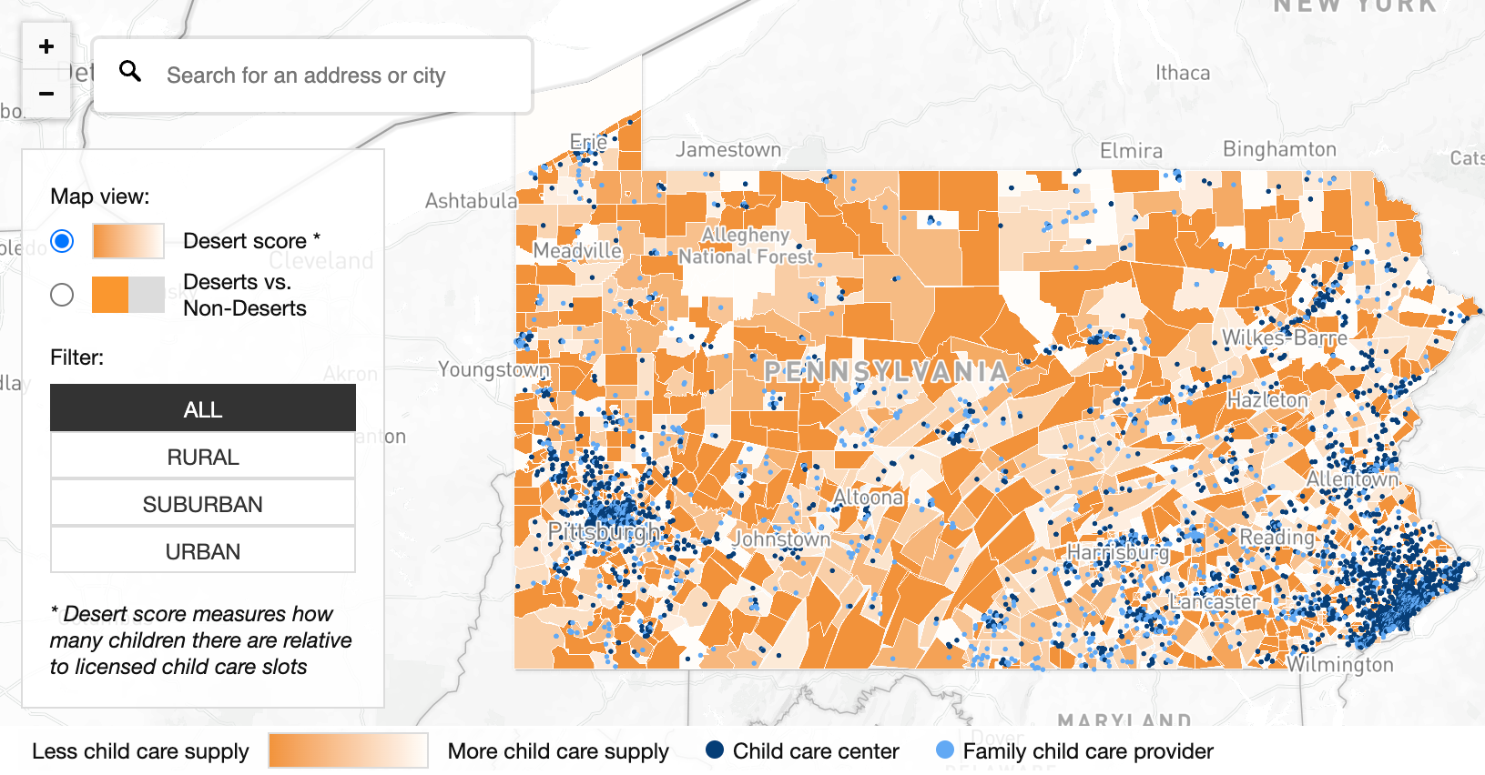
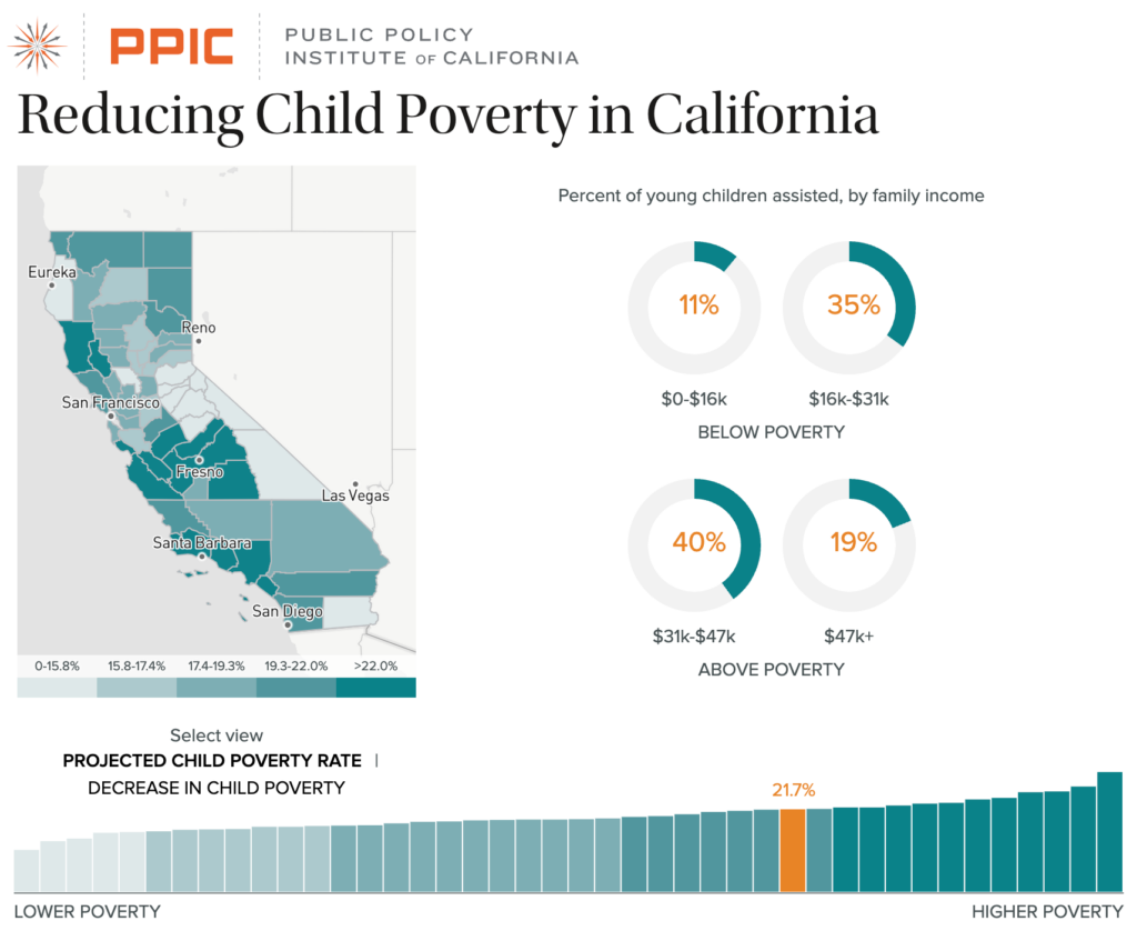
A team of communications staff, researchers, and subject matter experts from CAP came to Graphicacy for help in creating an interactive map-based tool that would help users understand the landscape of access to child care at a fairly granular level (both geo-coded and census tract).
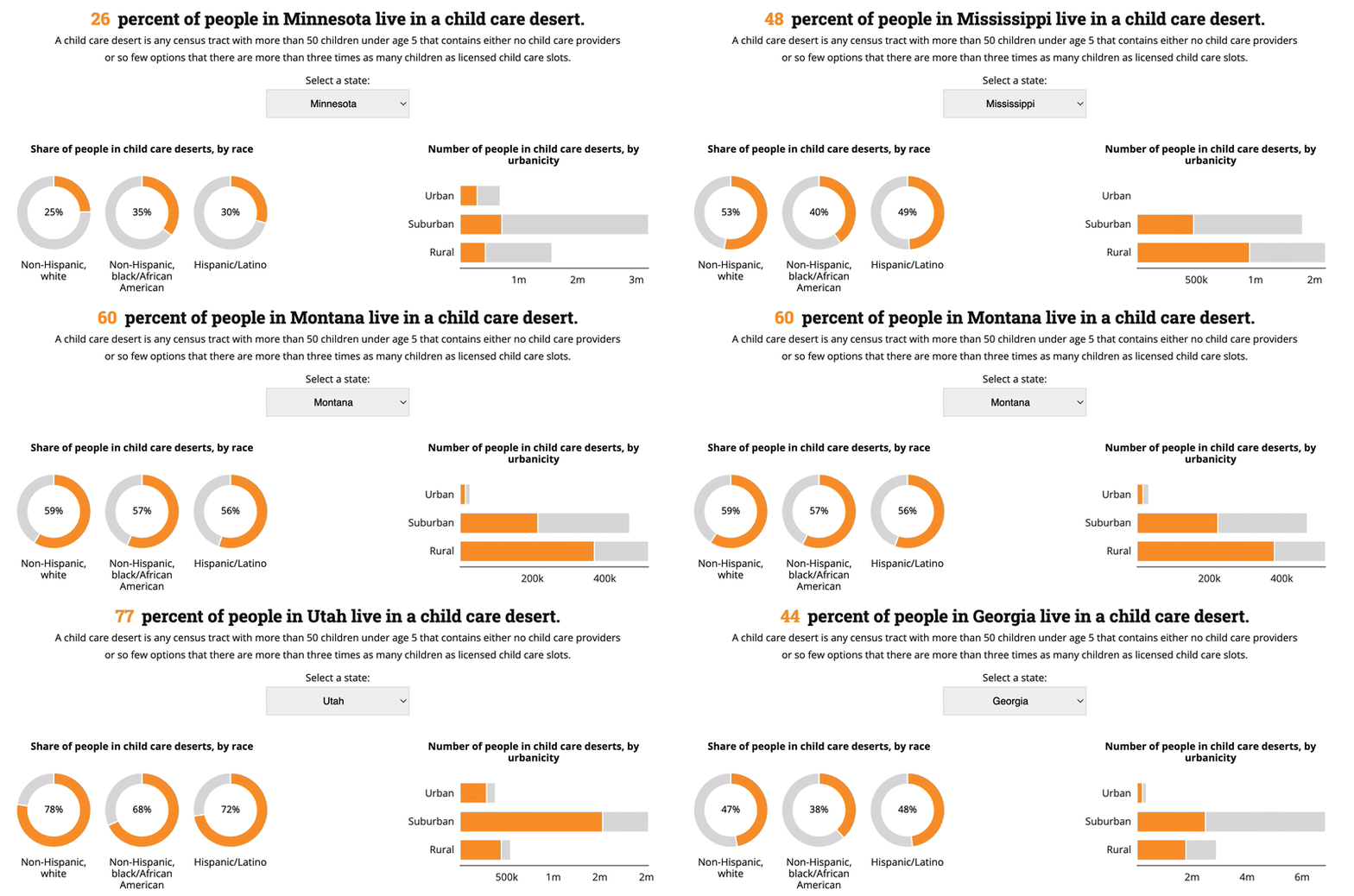
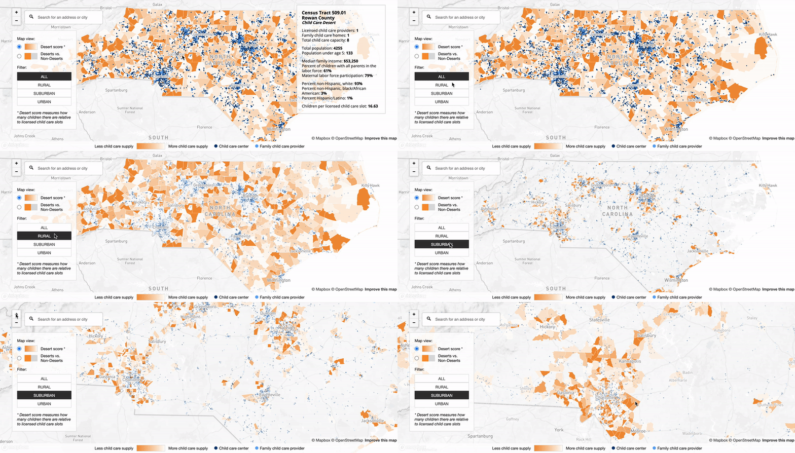
Graphicacy was tasked with designing and building an engaging digital experience with detailed data that would allow users to easily understand what a childcare desert is, zoom in and out of the map to see its impact at granular levels, change the location to a specific address or city, toggle the view between Desert or Non-Desert, and filter by All, Rural, Suburban or Urban. The new interface allowed users to smoothly access key data points either on the map or in the simple supporting graphics.
